Days 2-3: Into the Forest
Setting out the next morning, I walked straight up Laurel Canyon Boulevard from Valley Village to Sun Valley. I hadn’t spent much time in the San Fernando Valley before, and what time I had spent was mostly speeding (or crawling) through on the 101 or 405.
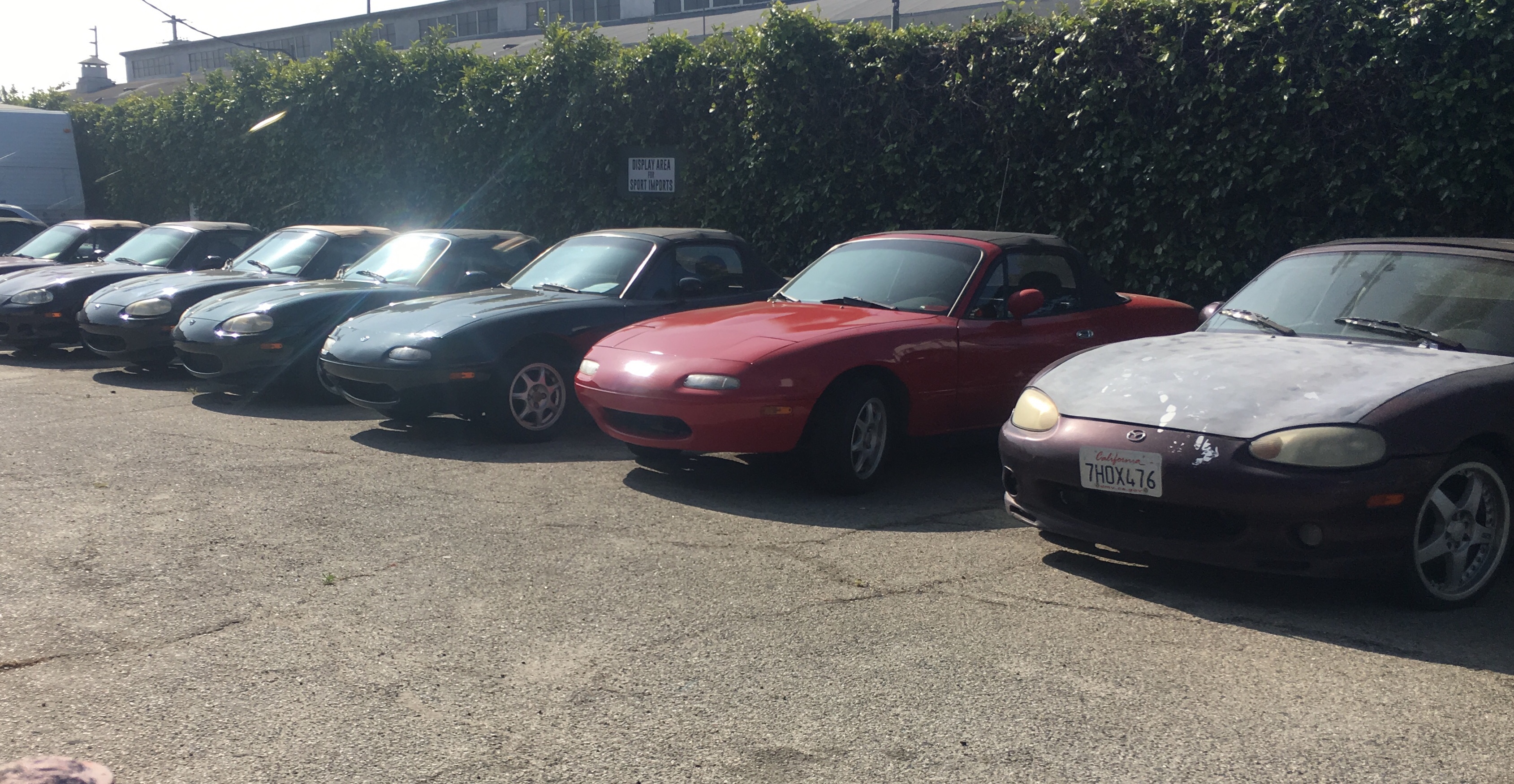
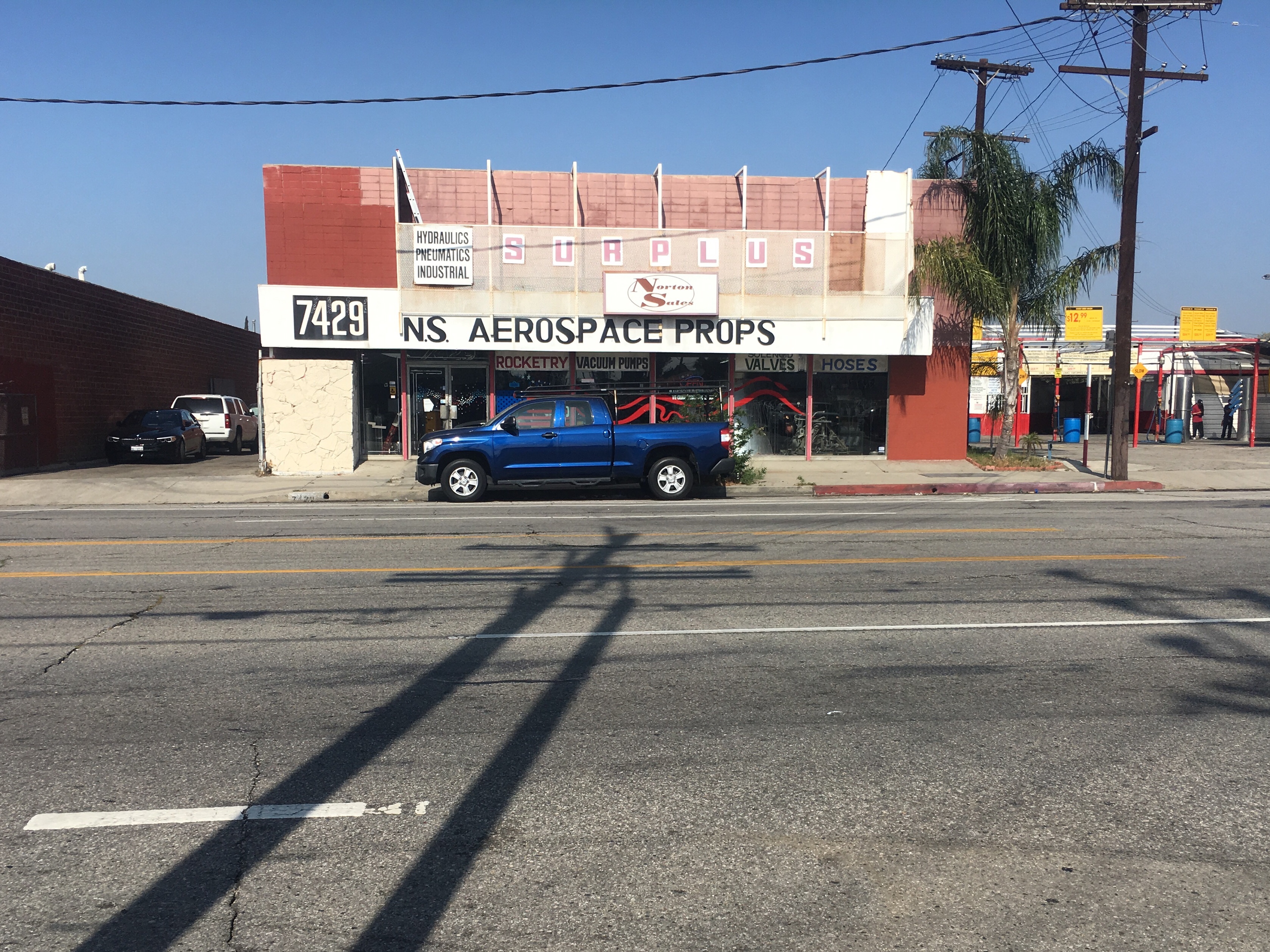
At ground level, it looks a lot like the streets of the LA Basin. Perhaps a bit more sun-baked, and occasionally in need of a power wash. I passed countless storefronts, selling everything from used Miatas to aerospace parts. Someone, noticing my trekking poles, asked if I was going skiing. “No, just hiking,” I replied.
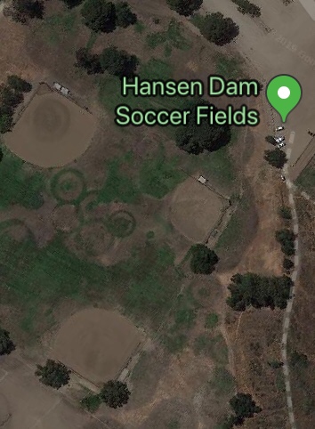
Eventually the Google Maps walking directions guided me to a place called the Hansen Dam Recreation Area. There I crossed my first stream of the hike, namely the Tujunga Wash. I even got a bit lost. I finally emerged into some soccer fields, which, viewed from above, seem to have an Olympic ring pattern.
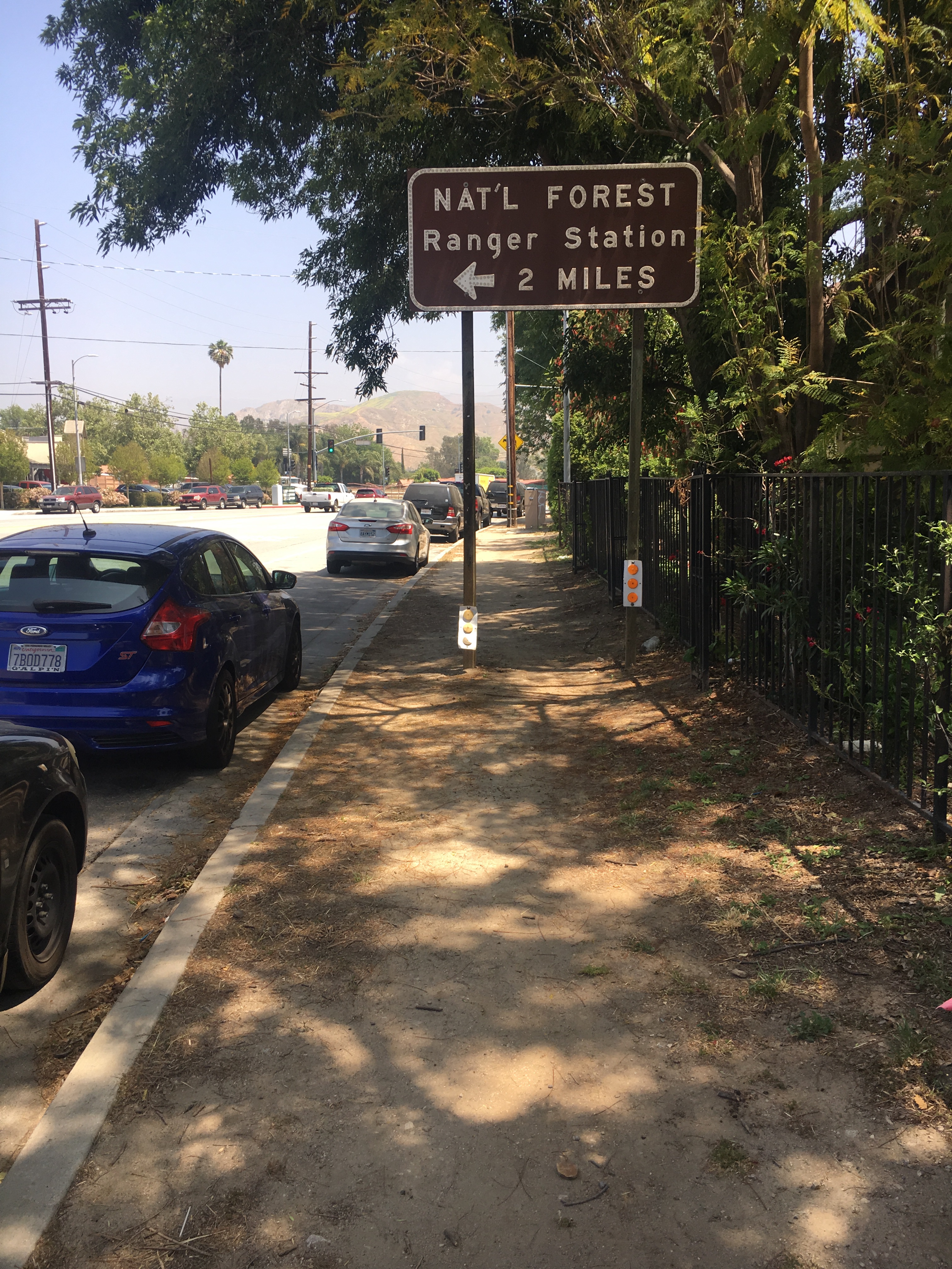
A sign on a dirt sidewalk pointed the way to a ranger station, and I followed it.
After a several mile roadwalk up Little Tujunga Canyon Road, I took the barely-marked turnoff to forest road 3N37. At first there were tire tracks and trash, but soon enough there was nothing. The tracks faded away and rockslides rendered the dirt road impossible to vehicles. Still it was an easy enough walk. After finding water a little ways up a canyon, I settled on a tentsite and thought about the easy 15 miles I had to do tomorrow to North Fork and the actual PCT.
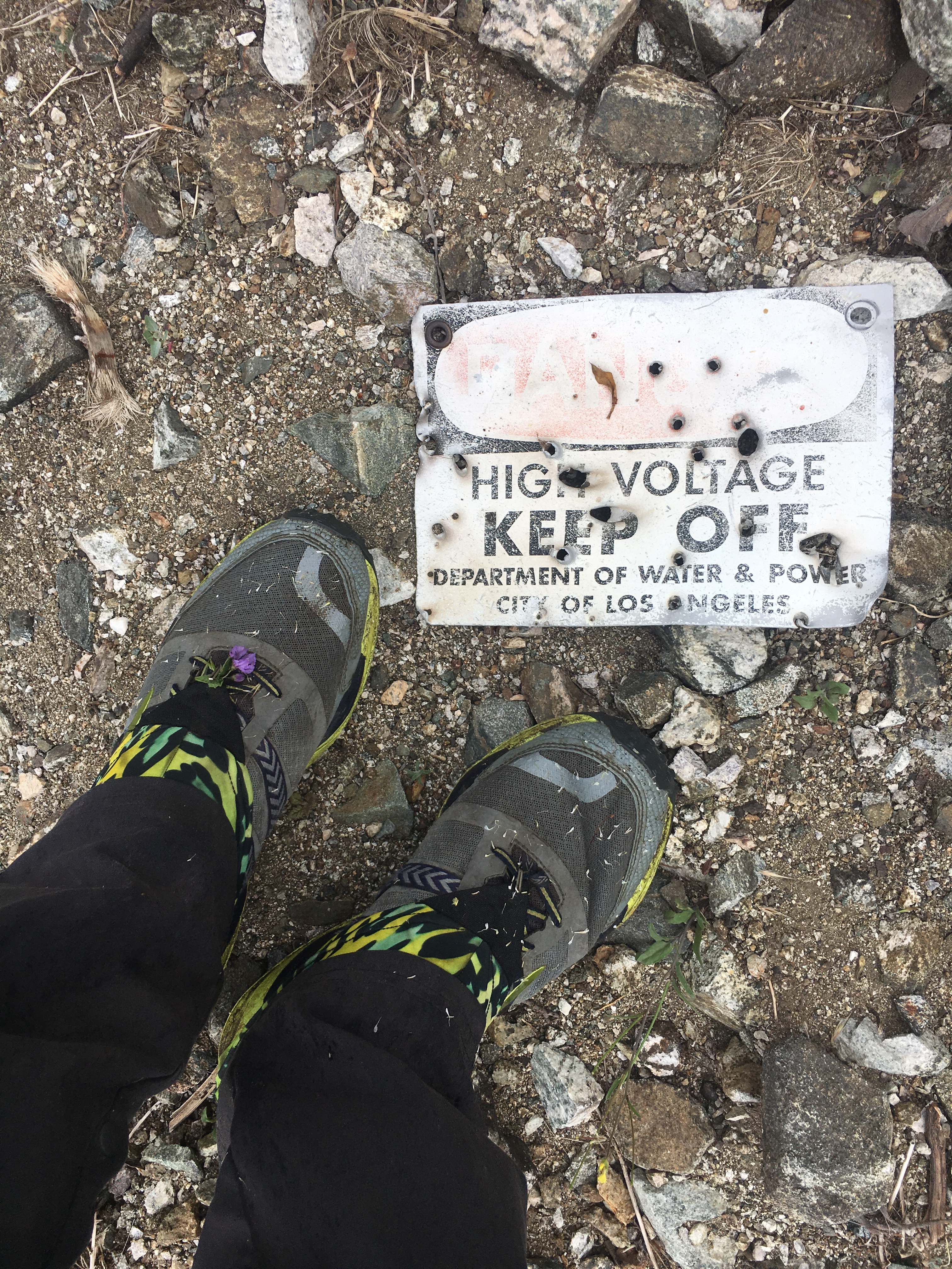
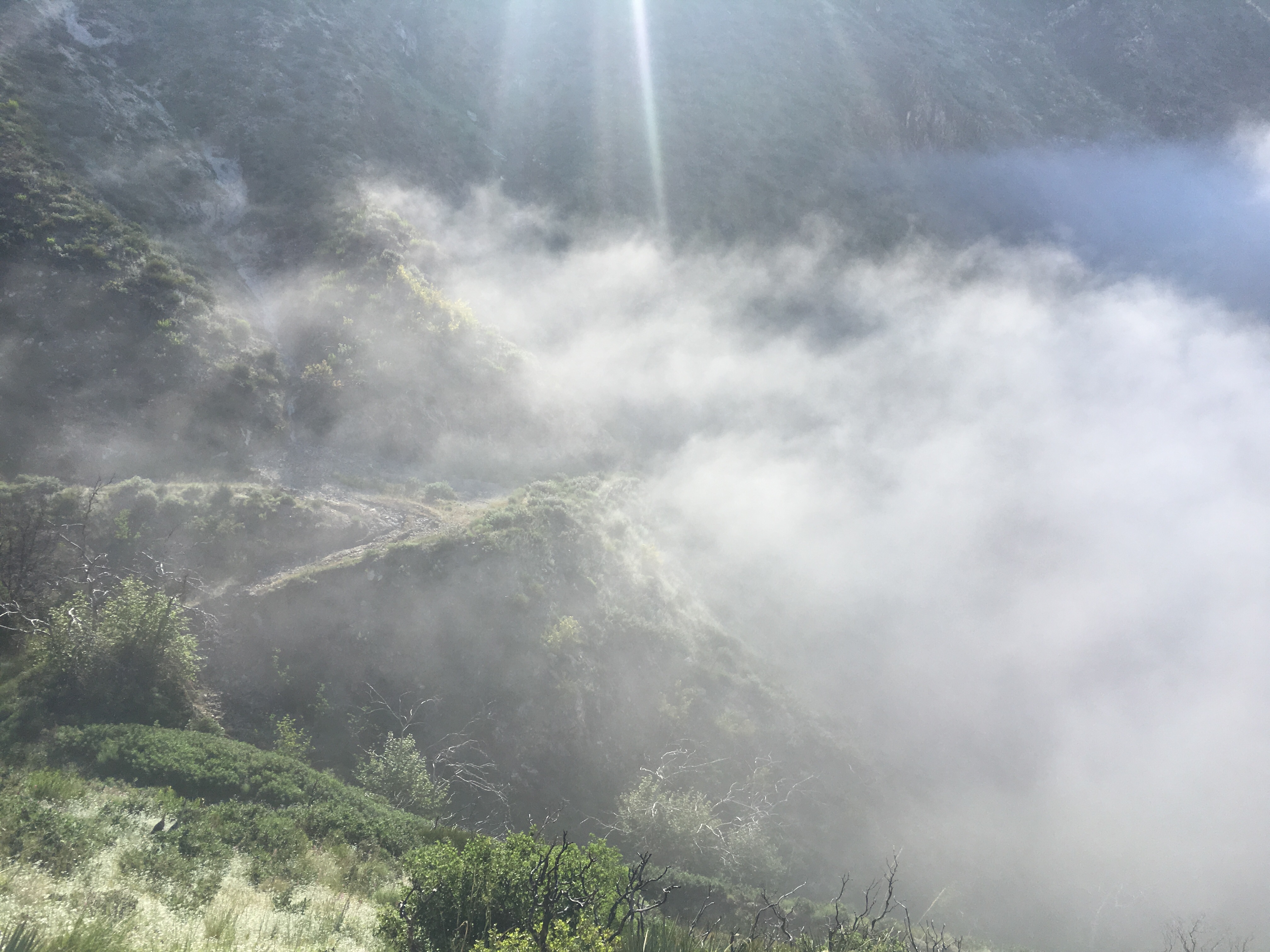
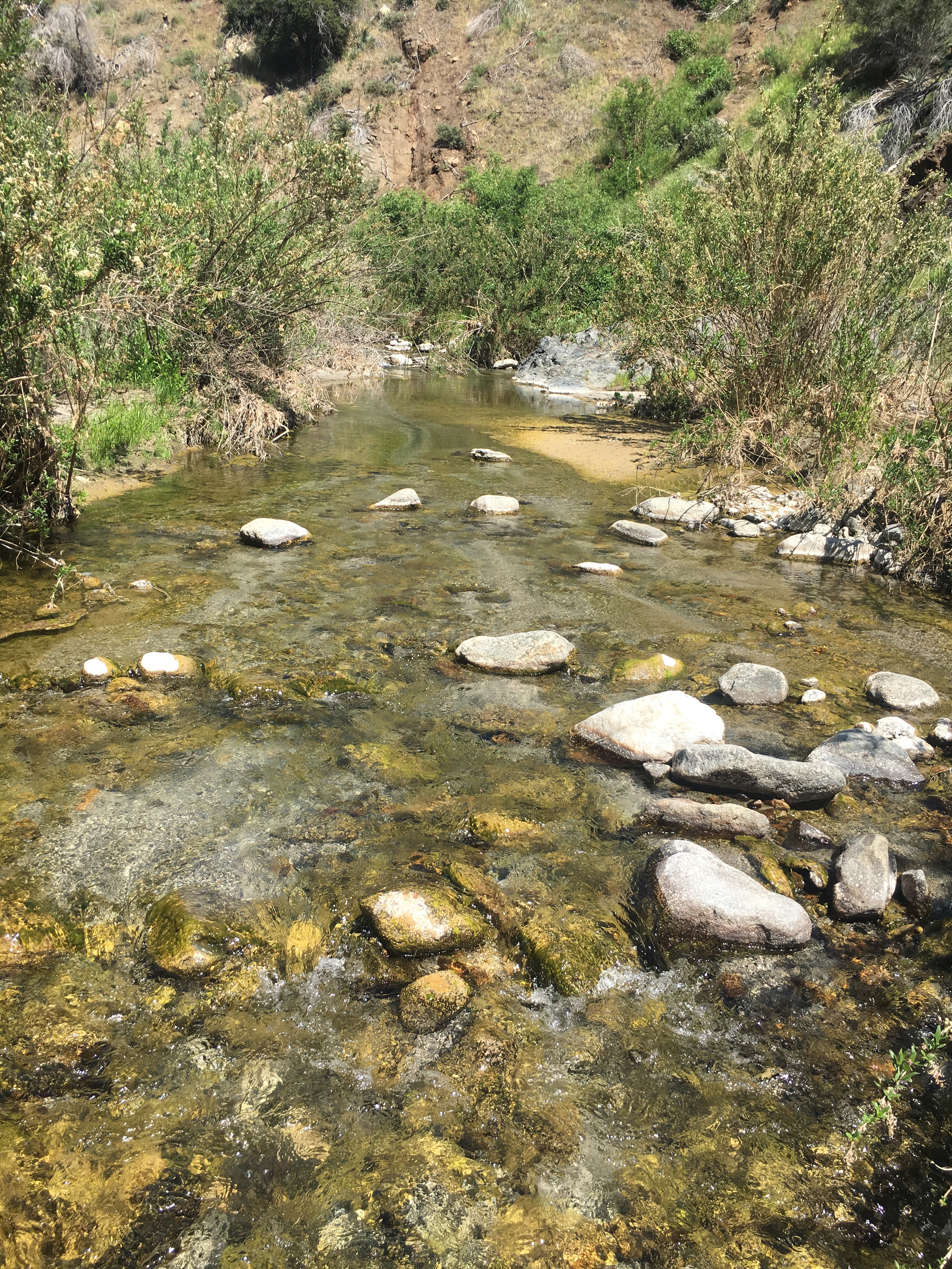
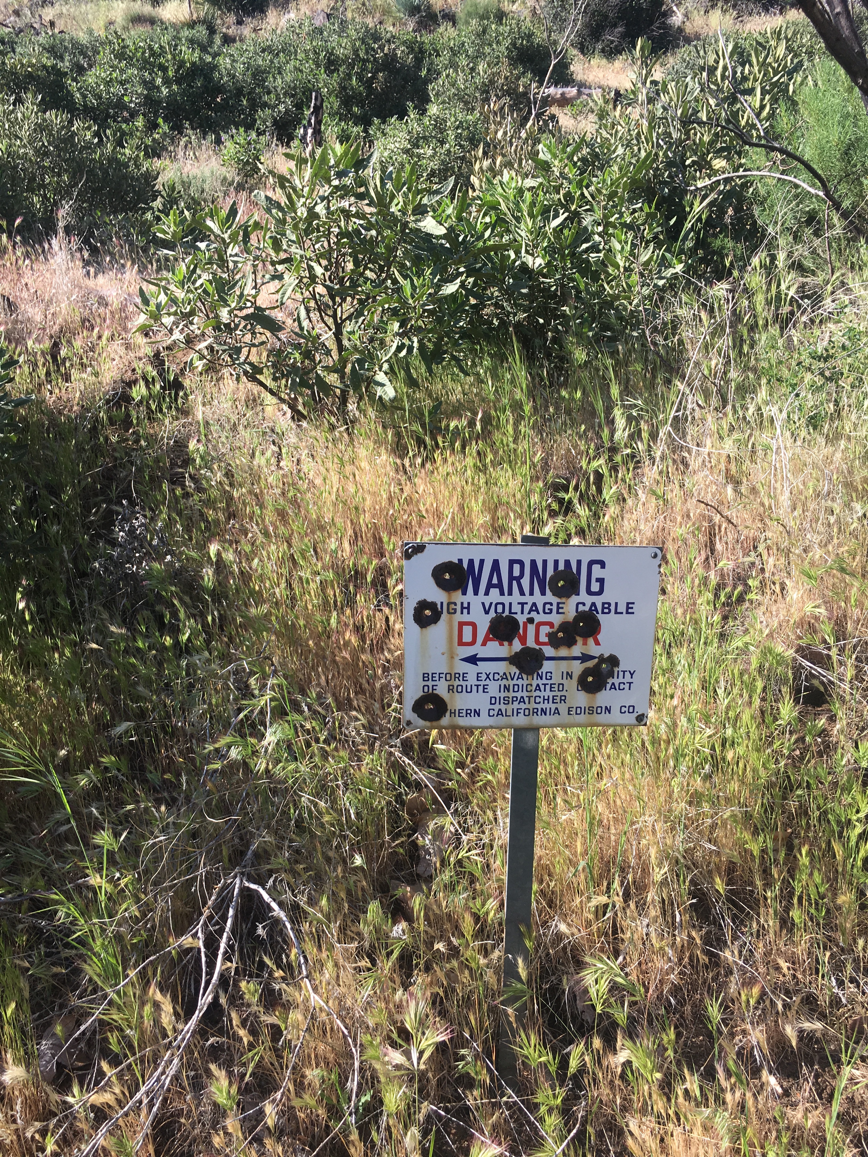
It wasn’t so easy. I woke up inside a cloud, climbing up to Highline Saddle with the buzz of high-voltage power lines never far away. Dropping down into Pacoima Canyon, the faint trace of road I’d been following faded even further, at times to nothing. And so began several miles of bushwhacking and stream-hiking that, however difficult, did deliver me to North Fork before dark.
I was pacing around in front of the ranger station, letting my self-satisfaction distract me from the pain in my legs when the ranger emerged. He asked me which way I’d walked up, and when I replied he exclaimed: “Pacoima Canyon! Haven’t seen anybody come up that way in 2 years!”
He explained that I’d entered the canyon at a feature called the “Dillon Divide”, and that the road that looked so solid and secure on my maps at home actually hadn’t been maintained in a quarter-century.
I quickly set up camp, picked the remaining yucca thorns from my legs, and hoped that I really had been able to dodge the countless poison oak bushes I saw along the way. That night I went to bed pleased to be joining the PCT in the morning, but mostly just excited to be joining an actual trail.
